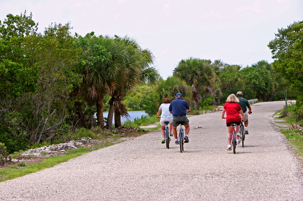
People riding on bike trail in Florida – Courtesy: Shutterstock – Image by: Sheri Armstrong
Motorcycles and their riders are the main attraction at Daytona Beach twice a year, and revelers swarm the shores from Flagler Beach to New Smyrna Beach to celebrate.
Businesses truly mean it when they post “Welcome Bikers” posters.
We thought we’d share a couple of the amazing trips through the country around Daytona that are frequently overlooked beneath the noise of Harleys on Main Street. You can take a car on these lovely, picturesque excursions at any time.
Cruise in the Ocala National Forest for the Whole Day
Leave early and arrange a late return because this journey offers several possibilities and, whatever of the route you choose, it’s a full day of cruising. Bring your lunch and drinks because there isn’t much along the route.
The temptation to leave the pavement and cruise well-maintained but unpaved woodland roads was strong when I completed this journey a few weeks ago. You will frequently detour to woodland springs because of the amazing splendor of this area.
State Road 40 (east-west) and State Road 19 (north-south) are the two primary roads that cut through Ocala National Forest. You would be remiss if you ignored the numerous forest service roads that branch off of each of these routes. These roads offer breathtaking views as they lead you far into the forests.
State Road 40, which leads west from Ormond Beach, and State Road 44, which leads from New Smyrna Beach to Deland, are the two primary roads to the forest. (From Daytona, either drive I-95 north to the SR 40 route or I-4 south to SR 44 in Deland.)
SR 40 enters the forest right in the middle. After crossing the St. John’s River from Deland on SR 44, bear right onto County Road 42. From SR 19 in Altoona, enter the southern portion of the woodland. I suggest picking up a forest map at the Pittman Visitor Center at Lake Dorr.
I entered the forest via SR 40, then continued north on SR 19 to SR 20 at Palatka, and then on Route 20/100 to Bunnel, where you may continue on US 1.
The Greatest Ride is the Ormond Scenic Loop!
Ormond Beach to Flagler Beach Half-Day Ride
One of the most beautiful places to visit in northeast Florida is the Ormond Scenic Loop. The trail winds through vast grass savannahs, saltwater marshes, coastal dune eco-systems, immaculate beaches, and lush hardwood forests and live oaks that provide shade.
Beginning at Tomoka State Park on North Beach Street, the double loop travels north along Old Dixie Highway before jogging east on Walter Boardman Lane, south on Highbridge
Road, then east on High Bridge until it crosses the Intracoastal Waterway.
Turn south onto John Anderson Drive as soon as you pass High Bridge, then follow the Halifax River as it meanders past busy Ormond Beach before turning east to State Road A1A.
North Peninsula State Park’s immaculate dune habitat and mild sea breezes await you as you head north along the beach.
You should continue driving north on A1A via Gamble Rogers State Park to Flagler Beach, a charming old Florida beach town, even though the circle terminates back at Highbridge Road. Shooting out SR 100 to I-95 and heading “home” would be a shortcut.
I typically visit the rooftop bar above Finn’s Oceanside Pub in Flagler Beach to round off my day on the loop.
Explore the beaches
Motorcycles (and vehicles) are allowed to cruise specific beach portions at Daytona Beach and New Smyrna Beach. With a 10 mph speed limit, it might not be for everyone.
When you’re finished, I also suggest using a hose to rinse your bike. Your bike’s special finish may get damaged by exposure to salt. (A pressure sprayer should not be used. All you’ll be doing is pushing the salt into your bike’s joints.)
Vehicle access to designated driving zones in Volusia County has been restricted in recent years.
The primary beach access sites are as follows:
Flagler Avenue or 27th Avenue are the entrances to New Smyrna Beach. Six miles north on 27th Avenue, you may ride to the Ponce Inlet, where fishermen line the pier and surfers gather. During high tide, access is prohibited. In Volusia County, this is the longest continuous driving beach.
Daytona Beach — From Dunlawton Ave. in Daytona Beach Shores north to International Speedway Blvd. in Daytona, the longest driving stretch on the Daytona side of Ponce Inlet is located. Seabreeze Avenue to Harvard Drive is the second longest driving beach.
New Smyrna Beach Half-Day Ride on Canaveral National Seashore (Apollo Beach)
About 25 miles from Daytona International Speedway, on State Road A1A near New Smyrna Beach, is the north entrance to this sandy, dune-covered coast.
There is always rolling thunder on the park’s roads when Daytona hosts a motorbike event.
Turtle Mound, where Indians placed their oyster and clam shells for centuries, is located close to the entrance. For a panoramic view of the park and its beaches, ascend to the summit.
You can reach historic Eldora, a long-abandoned settlement on the Indian River’s banks, a little further south along a canopied side road. This is a great spot to fish from the fishing dock in addition to being a historic house that is now a museum.
Cruise the beach behind the dunes for six miles. You can pull into one of six parking spots and stroll out onto the beach.
On a clear day, you can view the Kennedy Space Center launch pads at Parking Lot 6, which is also the location of the nude beach, near the southernmost end of the beach road. On a lovely day, the only way to find a parking spot is with a motorcycle. (A sandy road here leads to additional parking along the lagoon, dipping off the dunes.)
JB’s Fish Camp, located on State Road A1A approximately half a mile north of the park entrance, is a must-visit destination after departing Canaveral Seashore.
Half-day Ride to Merritt Island National Wildlife Refuge from Oak Hill/Titusville
After you cross Oak Hill, keep an eye out for the Merritt Island National Wildlife Refuge turn-off (on the left) on U.S. 1 south of New Smyrna Beach. Don’t blink.
With sporadic unpaved turn-offs leading to boat ramps or other restricted access locations, the paved refuge road winds through miles of marshes and virgin pine forest.
Especially if you are not interested in birds, you will still find the wildlife you see on your trip fascinating, especially if you only drive on paved roads. The Haulover Canal in the middle of the refuge has a couple of good pull-offs.
The Kennedy Space Center is visible in the distance if you continue to the Visitor Center. You have two options: leave the refuge at Titusville and take a U.S. 1 cruise back, or turn around and head back.
Goodrich Seafood on the River Road in Oak Hill, off U.S. 1, is a fantastic location to stop on the way home. The river ride is pleasant as well. This article on Discovering Oak Hill is connected.
Make sure you are staying up-to-date with the latest and most important Florida news with Florida Insider. Whether you are interested in business, education, government, history, sports, real estate, nature, weather, or travel: we have something for everyone. Follow along for the best stories in the Sunshine State.

Born and raised in South Florida, Krystal is a recent graduate from the University of Miami with professional writing experience at the collegiate and national news outlet levels. She’s a foodie who loves all things travel, the beach, & visiting new places throughout Florida.